ArcGIS如何打开经纬度数据转成Shape
1、打开ArcGIS ,并新建一个Map地图文档

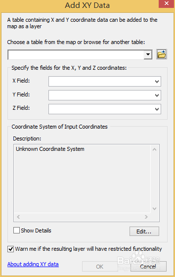
2、选择Add Data,然后选择添加X,Y数据


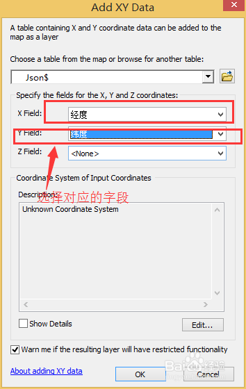
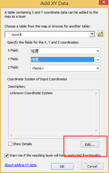
3、选择匹配的数据表字段和合适的地理坐标,我这里用的是WGS 84,打开后的数据如下


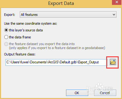
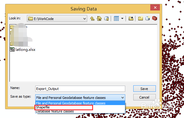
4、右击Export Data 单击选择路径和文件名,选择Shape 格式

5、生成完成后把Shape格式数据导入软件中 ,结果如下


声明:本网站引用、摘录或转载内容仅供网站访问者交流或参考,不代表本站立场,如存在版权或非法内容,请联系站长删除,联系邮箱:site.kefu@qq.com。
阅读量:89
阅读量:22
阅读量:84
阅读量:25
阅读量:84